Elige una opción:
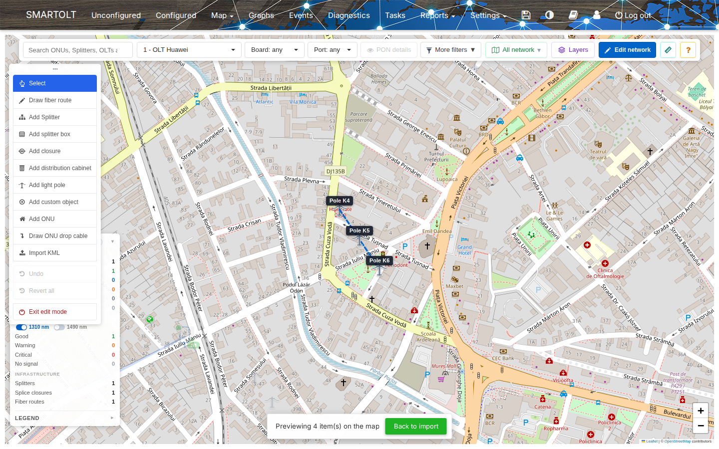
Many ISPs already have their network drawn in Google Earth, My Maps or QGIS. You do not need to draw it again in SmartOLT. You import the file, and SmartOLT creates the elements on the network map. You can also take your map data out as CSV files.
What it does
- Import the points of each folder as splitters, splice closures, distribution cabinets or light poles.
- Import the lines as fiber routes, with a fiber type.
- Show a preview on the map before anything is saved.
- Skip the points that already exist when you import an area again.
- Export the ONUs of a map area to a CSV file.
- Manage fiber types, cabinets, splitter boxes and splitters as lists, with CSV import and export.